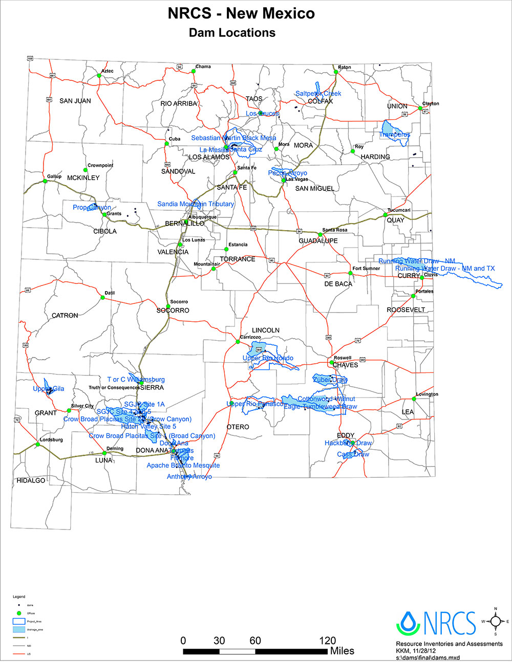
Doña Ana County is a county located in the southern part of the State of New Mexico of the United States. As of the 2010 U.S. Census, its population was 209,233,[1] which makes it the second-most populated county in New Mexico. Its county seat is Las Cruces,[2] the second-most populous municipality in New Mexico, after Albuquerque with 102,926 as of the 2018 US Census estimate.[3]
According to the U.S. Census Bureau, the county has a total area of 3,814 square miles (9,880 km2), of which 3,808 square miles (9,860 km2) is land and 6.9 square miles (18 km2) (0.2%) is covered by water.[6]
Legal Description
Doña Ana and Water Conservation District
As of April 19, 2017
Beginning at a point which is the intersection of the Doña Ana-Otero county line with the Texas state boundary, near the southeast comer of S36, T26S, R5E; thence west following the Doña Ana County-Texas state boundary approximately 14 ½ miles to a point where the Doña Ana County/Texas state boundary turns south/southwest; and continuing along the Doña Ana County/Texas state boundary approximately 25 miles to the point where the Doña Ana County/Texas state boundary intersects with the international boundary line between the United States and the Republic of Mexico in S15, T29S, R4E.
Thence approximately west 45 miles to the Doña Ana-Luna county line. Thence north 45 miles to the northwest corner of S6, T22S, R4W. Thence east 21 miles and north 6 miles to a point which is the northeast corner of S4, T21S, R1W. Thence west approximately 1 mile to the Burlington Northern-Santa Fe railroad right-of-way. Thence northwest approximately 3 miles along the Burlington Northern-Santa Fe railroad right-of-way where it intersects the west boundary of T20S, R1W. Thence north approximately 2 ½ miles to the northwest corner of S18, T20S, R1W. Thence east ½ mile, north 1 mile, west ½ mile, north 1 mile, east 7 miles to the southeast corner of S31, T19S, R1E.
Thence north 8 ½ miles, east ½ mile, north ½ mile, east ½ mile, north ½ mile, east ½ mile, north ½ mile, and east 7 ½ miles to the southeast corner of S10, T18S, R2E. Thence north 2 miles, west 1 mile, north 3 miles, and west 1 mile to the southwest corner of S16, T17S, R2E. Thence north 4 miles to the northwest corner of S33, T16S, R2E on the Doña Ana-Sierra County line, thence northeast along the Doña Ana-Sierra County line 26 ½ miles to the point where the Doña Ana, Otero, and Sierra County lines meet. Thence along the Doña Ana-Otero County line south approximately 6 ½ miles, west 2 miles and south 66 miles to the intersection of the Doña Ana-Otero county line with the Texas state boundary, which was the point of beginning.
History of DASWCD
DASWCD started as the La Union Soil and Water Conservation District which was individually created in 1966 to promote locally led conservation. Mr. Ramon Alvarez and Mr. C.D. Little both of Anthony submitted the first application for certificate of organization for the La Union Soil and Water Conservation District. The District officially changed their name to Dona Ana SWCD in 2015.
WHAT IS A SOIL AND WATER CONSERVATION DISTRICTS (SWCD)?
Soil and Water Conservation District’s provide a means for all interested people in a community or region to work individually or together for natural resource conservation. They rely primarily on the voluntary action and cooperation of landowners to achieve their objectives-the preservation and responsible development of our natural resources. The Districts’ conservation and wise use policy refers to all natural resources associated with our soil and water. These include our: air, wildlife, grasslands, forests, and urban and recreational assets as well.

